The “Sennerundweg”
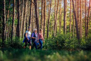
The Sennerundweg leads on a length of about 75 km around the two military training areas “Senne” and “Stapel” and runs on the city or municipal areas of Oerlinghausen, Lage, Detmold, Schlangen, Bad Lippspringe, Paderborn, Hövelhof, Schloß Holte-Stukenbrock and Augustdorf. The route can be divided into several stages. The route description is based on a clockwise circuit.

Attention:
Due to structural measures, there is currently no possibility to hike the entire circular trail.
From Heidehaus to Dörenkrug (approx. 7.7 km)
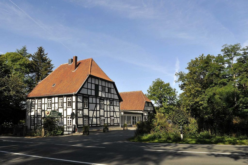
From the Heidehaus the route goes almost completely around the military training area “Stapel” first to the hikers’ hut at Stapelager Weg and then to the right along the pasture fence of the nature conservation project Senne and Teutoburger Wald to the Lönspfad. The Lönspfad (= Sennerandweg) runs for almost 4 km between the military training area “Stapel” and the ridge of the Teutoburger Forest. At the Waldstraße near the barracks in Augustdorf you will find the restaurant “Dörenkrug” (today’s inn “Spartakus”).
From Dörenkrug to Bielstein (approx. 6.3 km)
Via the road Am Ehberg the path leads past a large limestone quarry and through forests at the foot of the Großer Ehberg. With some “up and down” it goes on the Lönspfad to the Sener Teutoburger Wald on the Bielstein (393 meters).
From the Bielstein to the “Kreuzkrug” (approx. 8.6 km)
From the station Teutoburger Wald you reach after approx. 1.3 km the military training area “Senne” at the Dreiflussstein at 375 meters. After approx. 600 m along the military training area, the trail continues to the left along the Kastanienallee (chestnut avenue) to the vicinity of Berlebeck and then largely downhill through beech and spruce forests to the “Kreuzkrug” inn (approx. 220 m) north of Schlangen-Oesterholz at the transition from the Fürstenallee to the Gauseköte.
From the “Kreuzkrug” to Bad Lippspringe (approx. 11.2 km).
After a short stretch along the Fürstenallee, the trail leads through the nature reserve “Senne nördlich Oesterholz” with small heath areas and grazing Scottish Highland cattle and then past the archaeological adventure trail. Again it goes about 1.1 km along old and newly planted oaks at the Fürstenallee and through the nature reserve “Oesterholzer Bruch mit Schwedenschanze”. Via Tütgenweg and Mühlenstraße the B1 federal road is crossed and via Bäderweg the route continues through the wet meadow landscape of the “Strotheniederung” nature reserve. At the western edge of Schlangen, the hiking trail runs along Wiesenstraße, Lindenstraße, Heidweg and Schützenstraße to the Bad Lippspringe spa forest. It continues along the western edge of the spa forest and via Cecilienallee to Auguste-Viktoria-Allee to the Berliner Allee junction.
From Bad Lippspringe to Schloß Neuhaus (approx. 10.2 km)
Via Berliner Allee and Am Vorderflöß the hike leads to the Neuhäuser Weg and on this and a short stretch on the Senneweg to the Lippe. The path follows the Lippe for about 1.3 km on the right side. The trail continues through a wooded area along the B1 federal highway until it reaches Diebesweg. Further along the Schatenweg you will see the Tallesee on the left. Turn left into Dubelohstraße and after 300 m turn right into Kaiser-Heinrich-Straße. After 1.2 km you will reach Bielefelder Straße through Schloß Neuhaus. Via Am Schloßgarten the path leads to the back of the castle.
From Schloß Neuhaus to Hövelhof (approx. 12.0 km)
Passing the Natural History Museum in the Marstall and over the Alme Bridge, the path reaches the Schloss- und Auenpark, crosses it and, behind a bridge over the Lippe, leads along the Boker Canal for about 400 meters. Then it goes via Hermann-Löns-Straße, Auf der Thune and Eschenweg to Sennelagerstraße. Cross this street and continue on Altensenner Straße via Sander-Bruch-Straße to Klausheider Straße. Follow this road 900 m to the right and turn left into Am Langenbergteich. Shortly after, the nature reserve “Langenbergteich” is reached. After crossing Paderborner Straße, the hike continues on Salvatorstraße to Klausheide and via Bentlakestraße and Staumühler Straße past the Heimatzentrum OWL and a retention basin for the Krollbach to the bifurcation of this stream.
From Hövelhof to Stukenbrock-Senne (approx. 8.6 km)
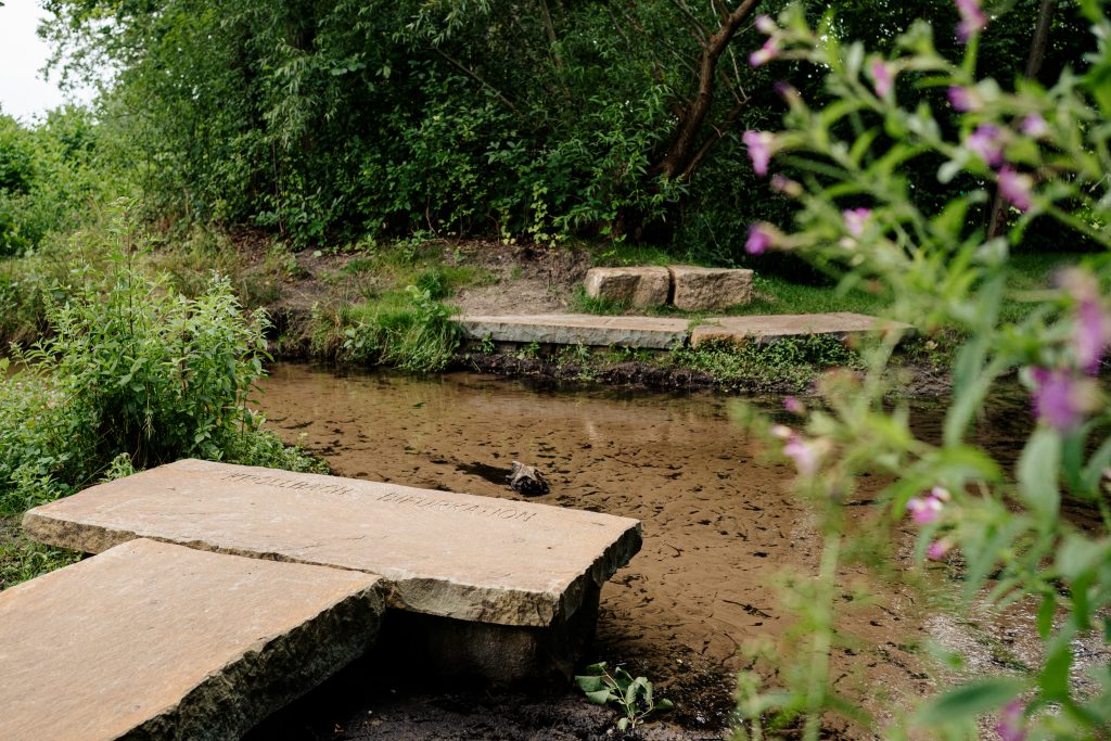
From the Krollbach bifurcation at Sennestraße, the path leads via Kastanienweg, Hollandsweg, Mühlenschulweg and Am Wasserstrang to Hasendorfweg and on this road over the A33 freeway. At Moosheider Straße the nature reserve “Moosheide” begins. Passing the Krollbach brook, the route continues on sandy paths through the pine forests and past small heath areas of the nature reserve to the parking lot at the Ems Information Center of the municipality of Hövelhof. Along the summer pasture of the Senner horses comes after about 700 meters the Ems spring and after another 1.7 km the Soviet military cemetery at the Ems experience world of the city of Schloß Holte-Stukenbrock in the district Stukenbrock-Senne.
From Stukenbrock-Senne to the Heidehaus (approx. 9.1 km)
From the Soviet military cemetery the trail leads along the Kapellenweg and past the inn “Alte Fockelmühle” along the Furlbach until you reach the nature reserve “Schluchten und Moore am oberen Furlbach” at Mittweg. The trail now leads through pine and beech forests along sandy paths up the Furlbach stream first to the old Tütgemühle mill near the source of the Furlbach stream, and then past small bogs at the Bentteichen ponds. Along the northeast corner of the golf course “Welschof” the Augustdorfer Straße between Stukenbrock and Augustdorf is reached. After 400 meters along the road, the trail heads north in a wooded area between a sand quarry and the Augustdorf industrial park into the “Ölbachtal with Augustdorfer Dünenfeld” nature reserve. After crossing the pine forests of the nature reserve and passing some heath areas as well as the dune tower of the district of Lippe, the youth settlement “Heidehaus” is reached.